Follow the signs
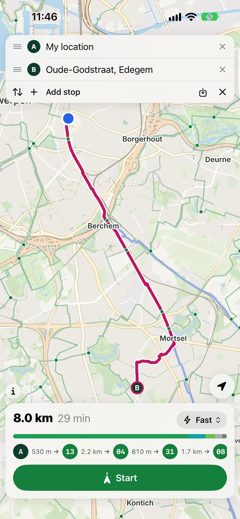
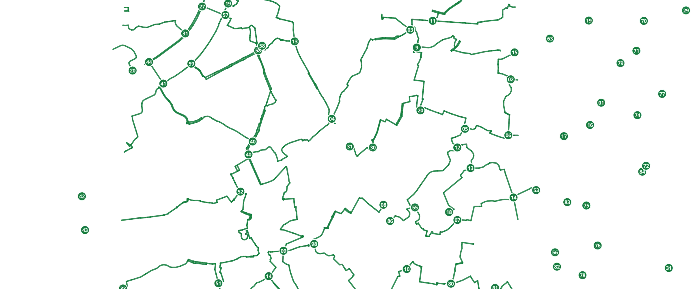
Flanders and Wallonia are full of numbered junctions, the knooppunten. ByBike shows which ones your route follows, in order and with the distance between them. On the way you see which number to look for and how far it is.
ByBike plans your ride over knooppunten, cycle highways and quiet streets, as far from cars as it can. Made for people who ride, not for people who drive.
For all of Belgium. In beta on iPhone now, through TestFlight.


The well-known route planners are built around the road network. The bike came later: one more button, on top of a map made for cars. What counts most is the shortest way, even when it runs along a busy main road.
Every stretch of road gets a price for the person riding it. A separate cycle path or a fietsstraat is cheap, a busy road without a cycle path is expensive. The signposted networks come first, because that is where the signs are and where you ride without stopping. A detour of a few hundred metres is worth it when it keeps you away from cars.
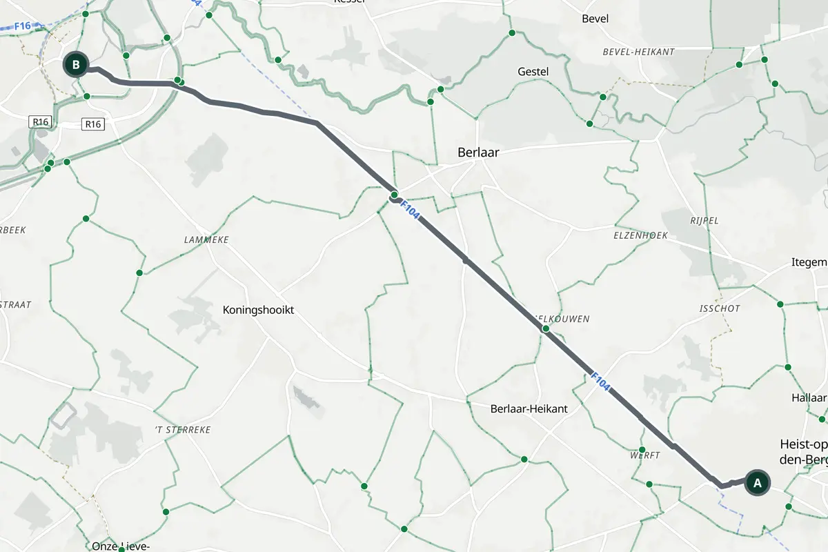
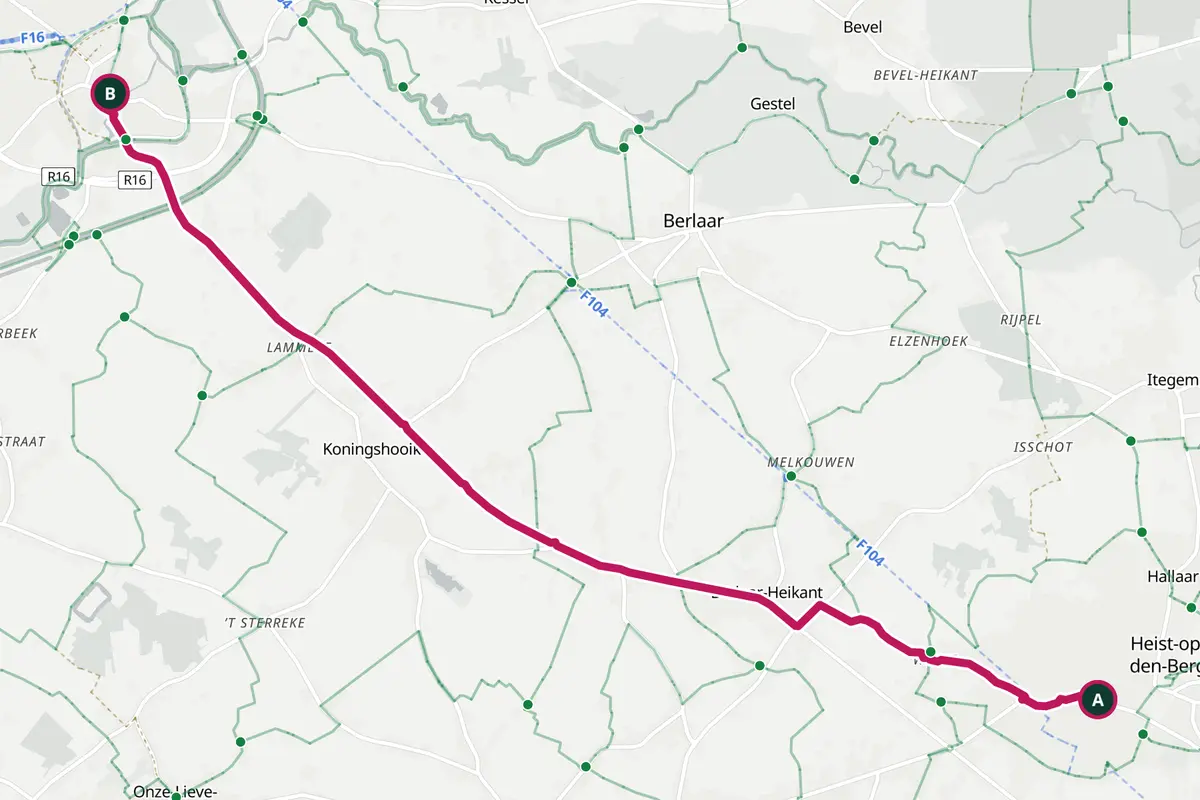
From Heist-op-den-Berg to Lier. On the left the shortest way, on the right ByBike set to Fast.
12.9 km49 min
13.5 km49 min
In Lier just as fast.
7.3 km less among cars.
Kind of road along the route
‘Among cars’ counts ordinary streets, busy roads, and stretches where you ride on the carriageway while a cycle path runs beside it.
Flanders and Wallonia are full of numbered junctions, the knooppunten. ByBike shows which ones your route follows, in order and with the distance between them. On the way you see which number to look for and how far it is.
The F1, the F11, the F105: long, smooth routes between towns. In Antwerp they are called fietsostrades. ByBike seeks them out, even when that means a short detour.

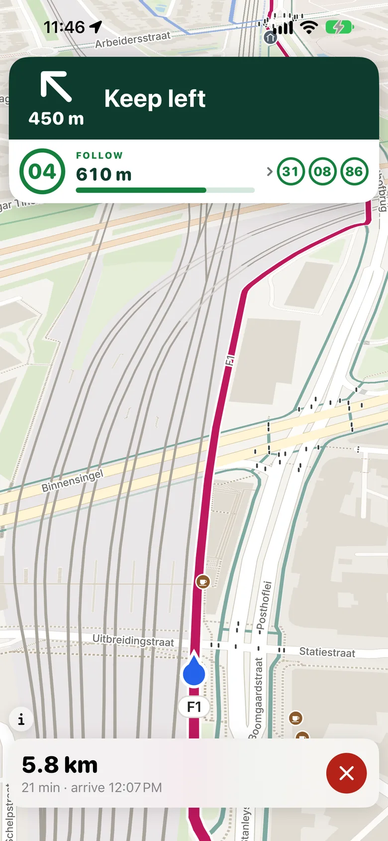
A big sign at the top, like the ones along the road: the next turn, the distance to it and the knooppunt to follow. At the bottom what is left and when you arrive.
Download the provinces you ride in. Planning and search then happen on your phone, without a connection. Routes run straight on from one province into the next.
Fast to work, a scenic loop along the knooppunten, or simply the shortest way. Pick a kind of ride and the route follows.
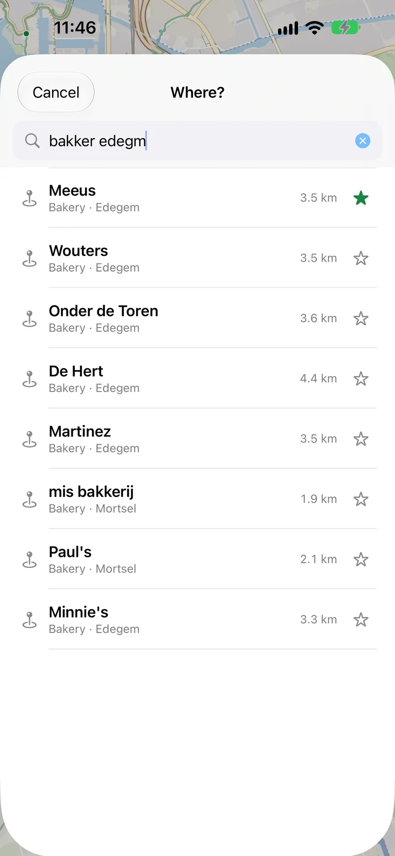
A bakery in Edegem, a station, an address. Typos are fine; ByBike looks near where you are looking first.
Ferries are the rider's choice. Turn them on and ByBike takes the ferry where that is the best way.
Knooppunten. Numbered junctions with signs along the road. ByBike strings them together and shows on the way which number to follow.
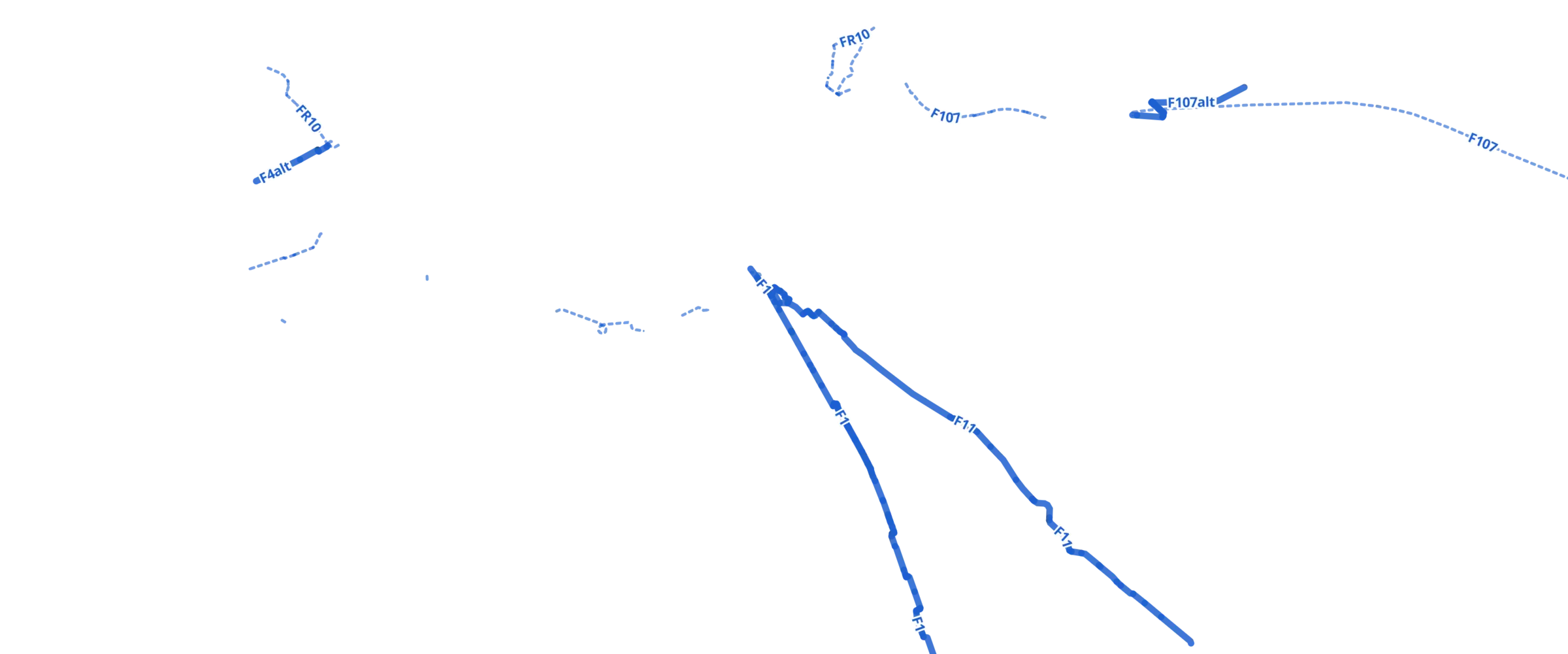
Cycle highways. Wide, smooth routes between towns, like the F1 and the F11. Dashed are the stretches still being planned.
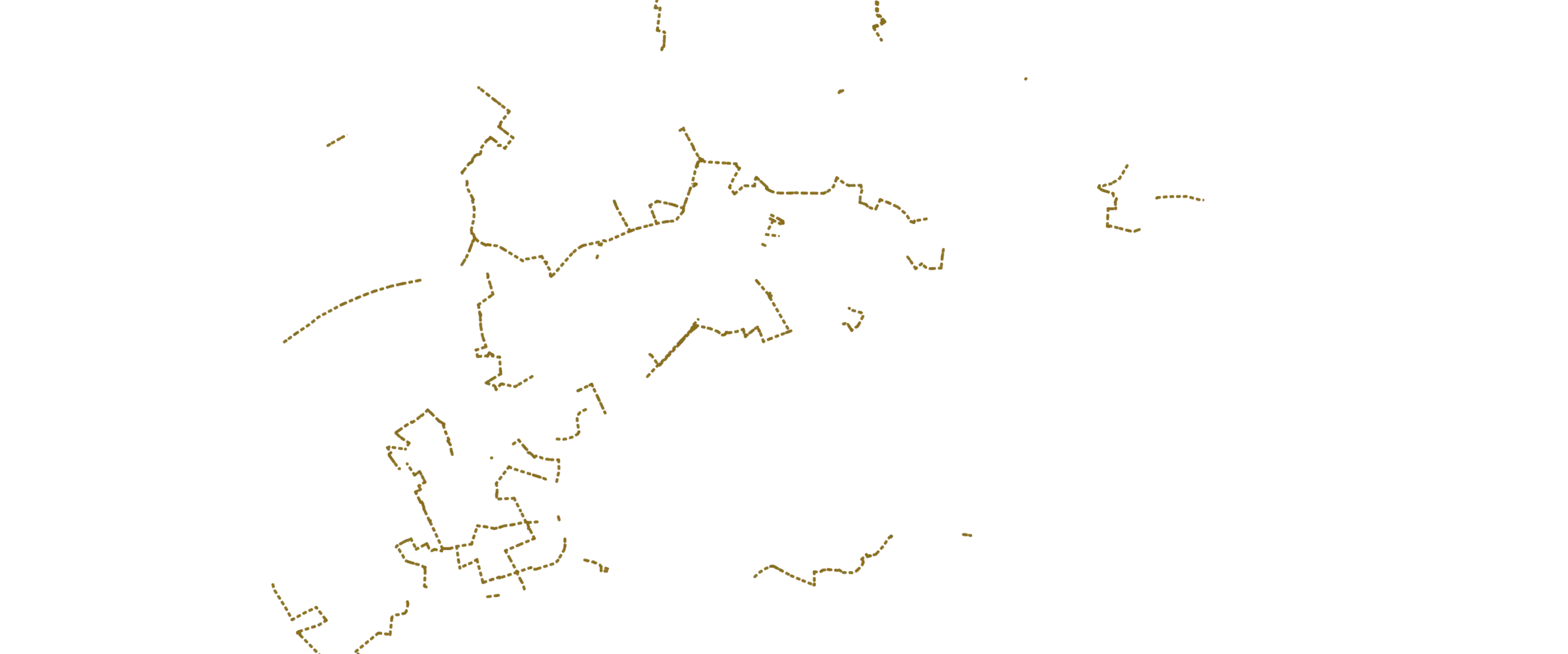
Other cycle routes. Signposted routes outside the knooppunt network. ByBike knows those too.
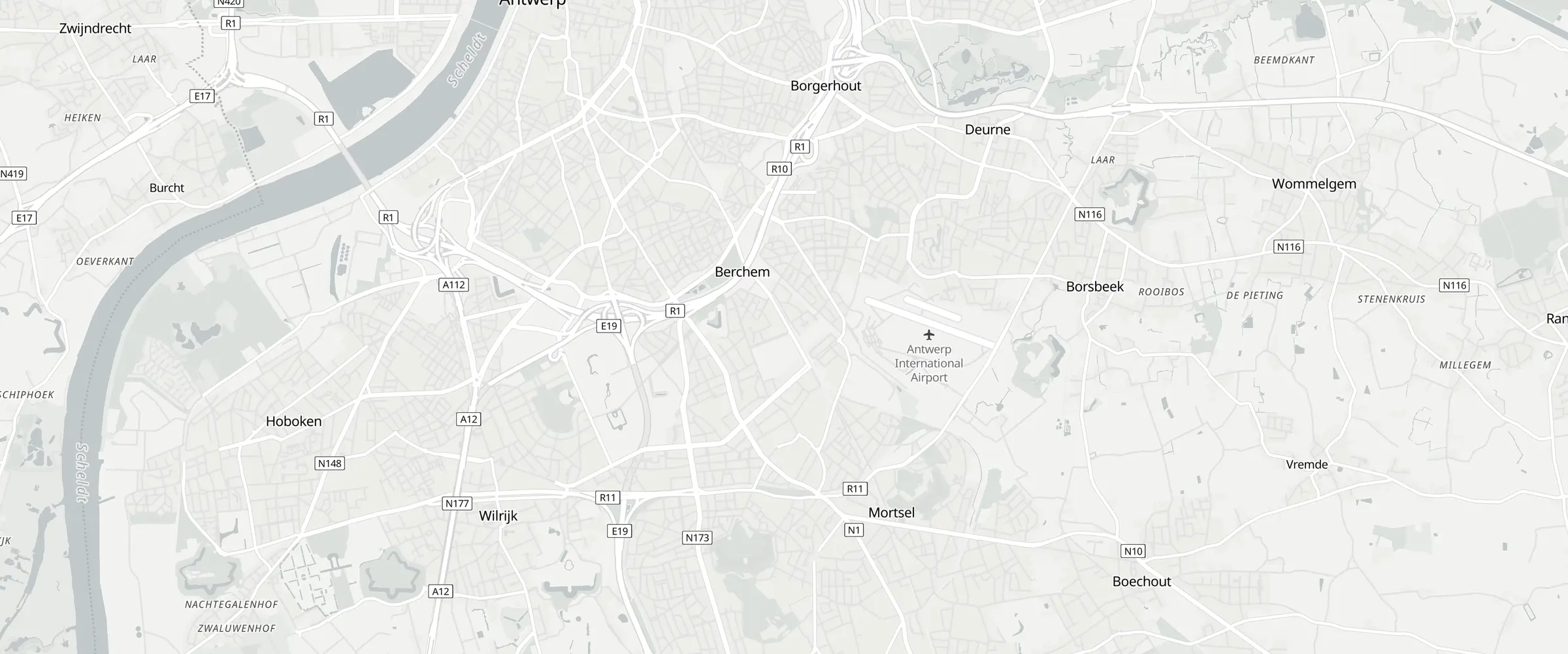
Your route. From Antwerpen-Centraal to Mortsel: 7.9 km, almost all of it on separate cycle path.
All together. This is the network ByBike weighs for every ride you plan.
No subscription, no ads. ByBike costs nothing and will keep costing nothing.
The code will be public. Anyone can read it, help build it, or check the routes.
You do not sign up. Your route is computed on your own phone.
Today all of Belgium: Flanders, Brussels and Wallonia. Other countries will follow.
Soon: version 1.1 is with Apple for review. Until then you can already use ByBike through TestFlight, Apple's beta programme.
Yes, with the map in your browser. You search and plan there as in the app, on the same map with the same routes. It needs a recent browser with WebGPU: Chrome, Edge or Safari 26. Guidance while you ride is in the app only.
Yes, once you have downloaded your provinces. Planning, search and the map itself then work without a connection.
From OpenStreetMap, the free world map kept up by volunteers. The knooppunten and cycle highways are in it too. If something is wrong near you, you can fix it there yourself.
Because we want to get it right. The knooppunten, cycle highways and fietsstraten are mapped in detail here. Other countries come later.
Just the bike,
nothing else.